
The NESDIS/StAR VIIRS Imagery and Visualization Team is responsible for the checkout/validation of Visible Infrared Imaging Radiometer Suite (VIIRS) EDR Imagery from the NASA/NOAA Joint Polar Satellite System (JPSS) satellites. Currently, there are three VIIRS in orbit: JPSS-2 (NOAA-21), JPSS-1 (NOAA-20) and SNPP (Suomi-National Polar-orbiting Partnership). NOAA-20 leads SNPP by a half orbit, or ~50 minutes in the 1330 local-time sun-synchronous orbit, with NOAA-21 a quarter orbit (~25-minutes) between the two as it continues to under go post-launch testing. The VIIRS instrument collects visible and infrared imagery of the earth, providing global information about land, ocean, clouds, and cryosphere.
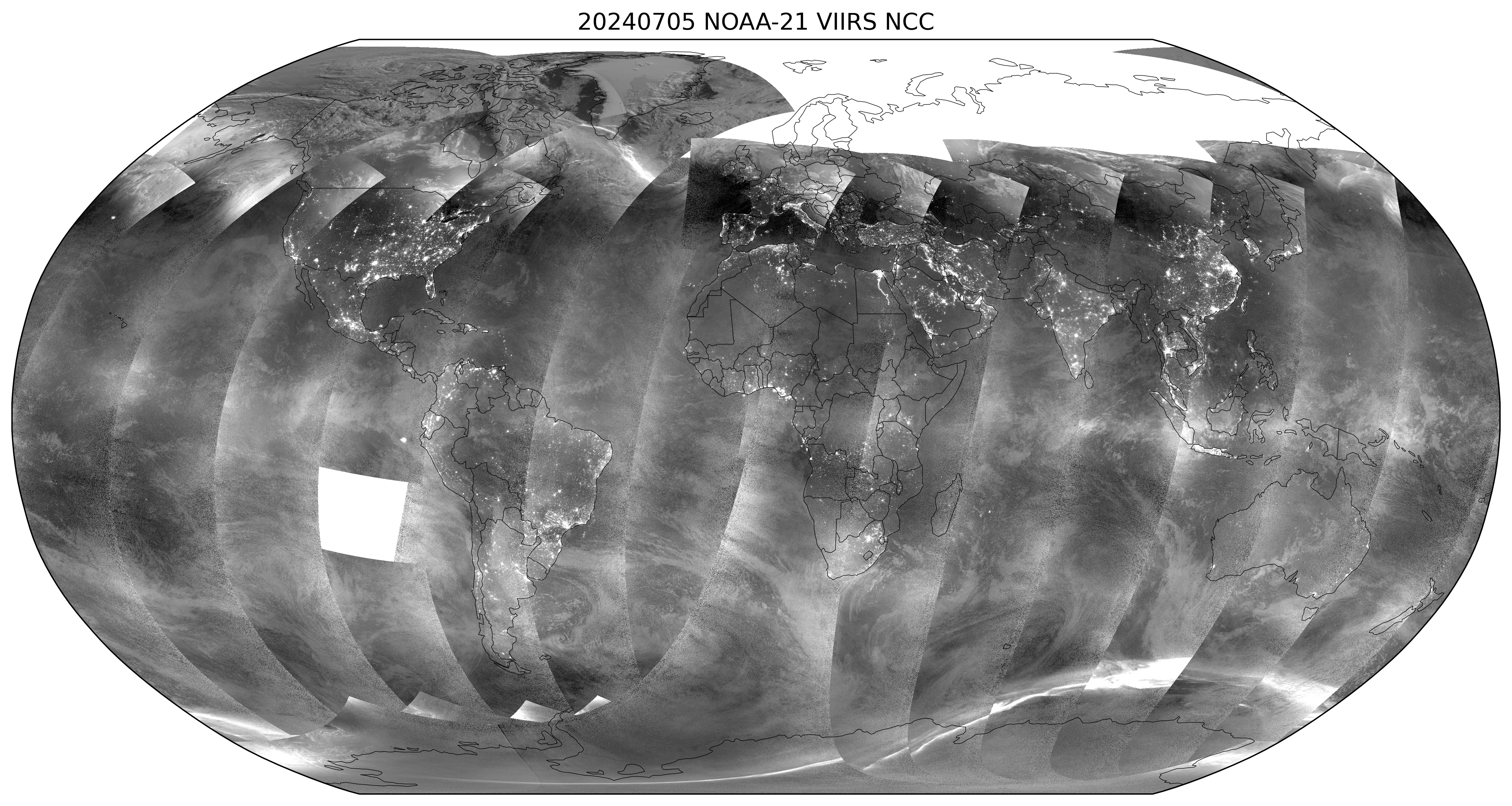
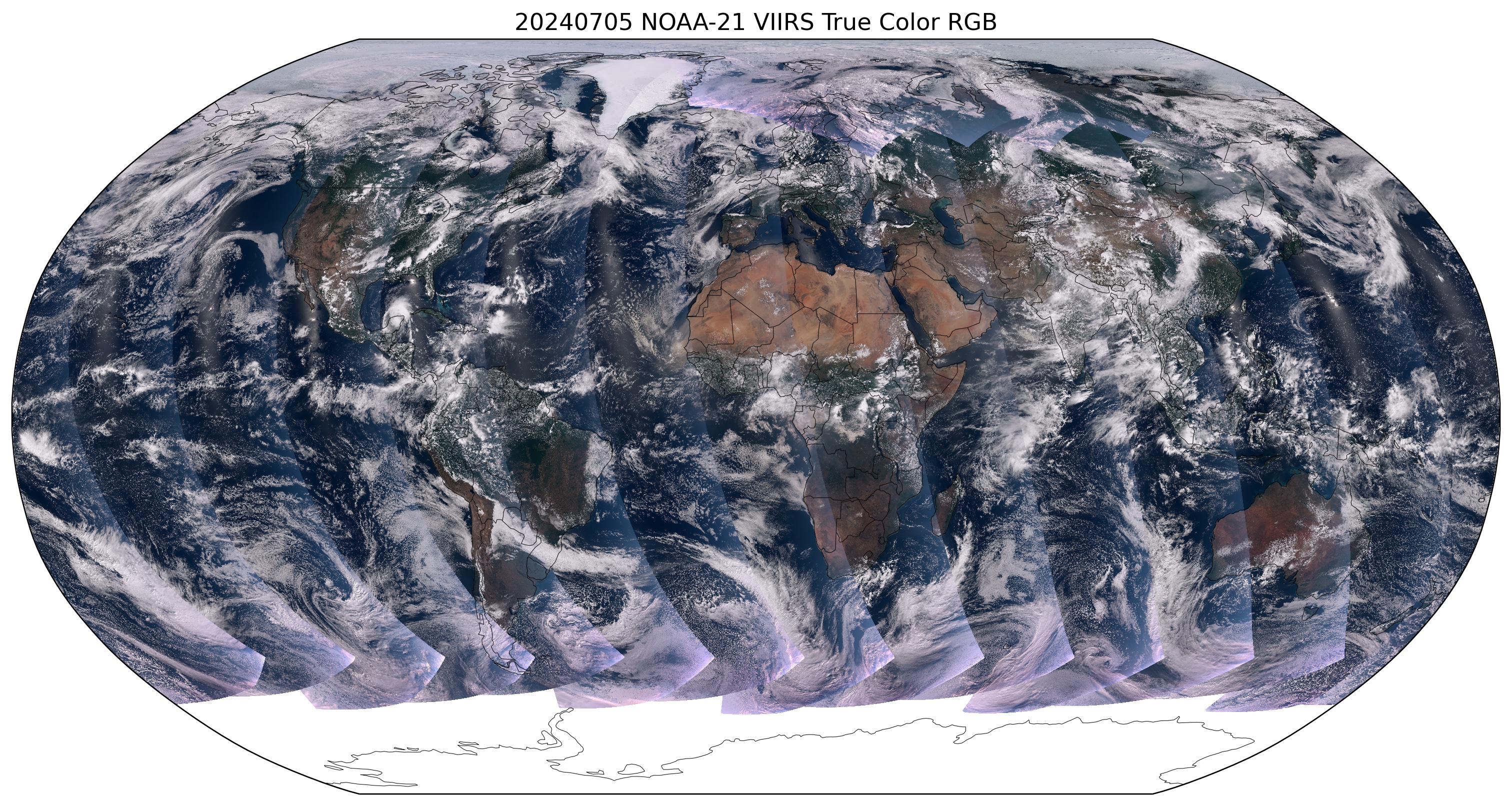
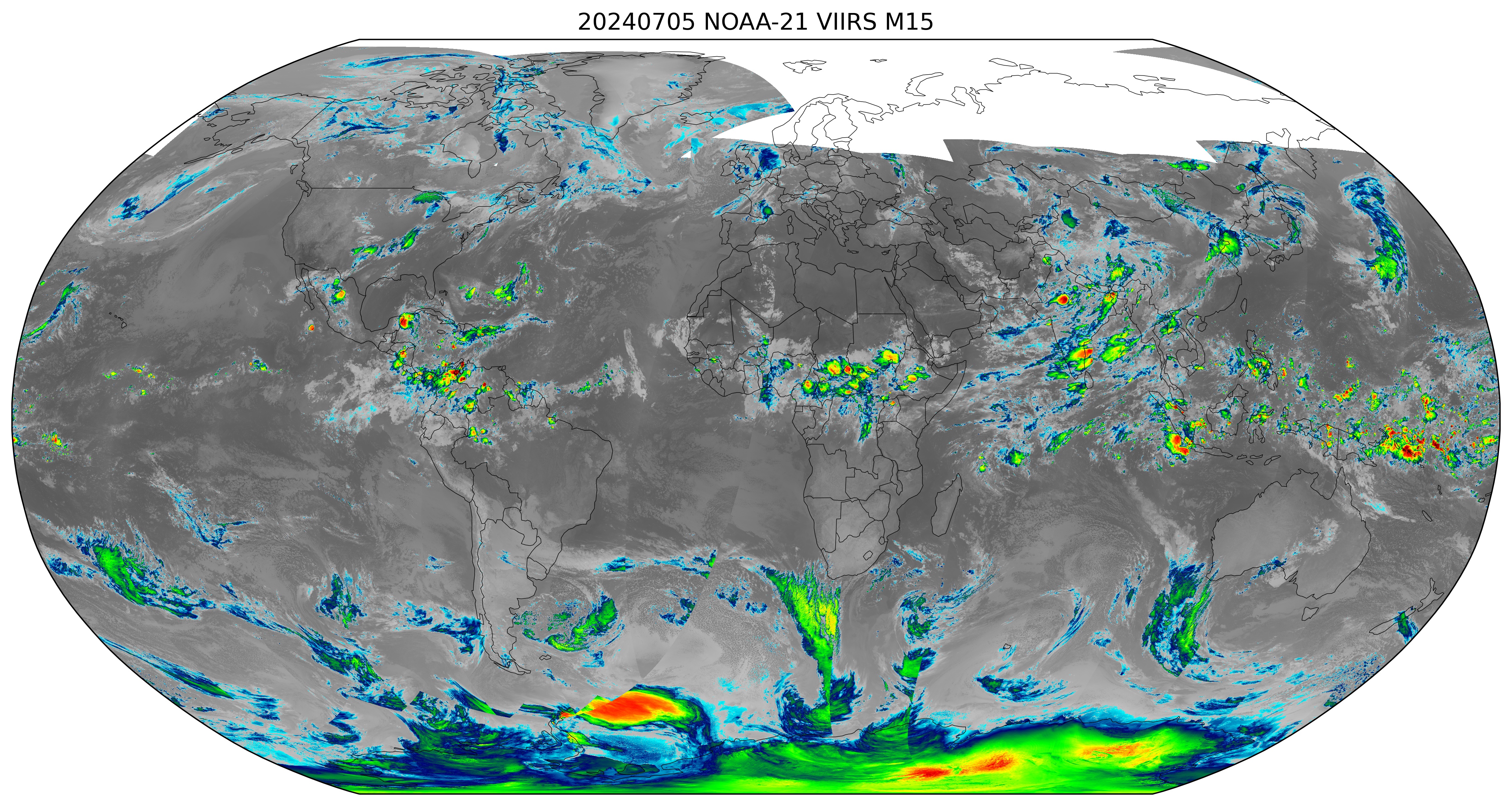
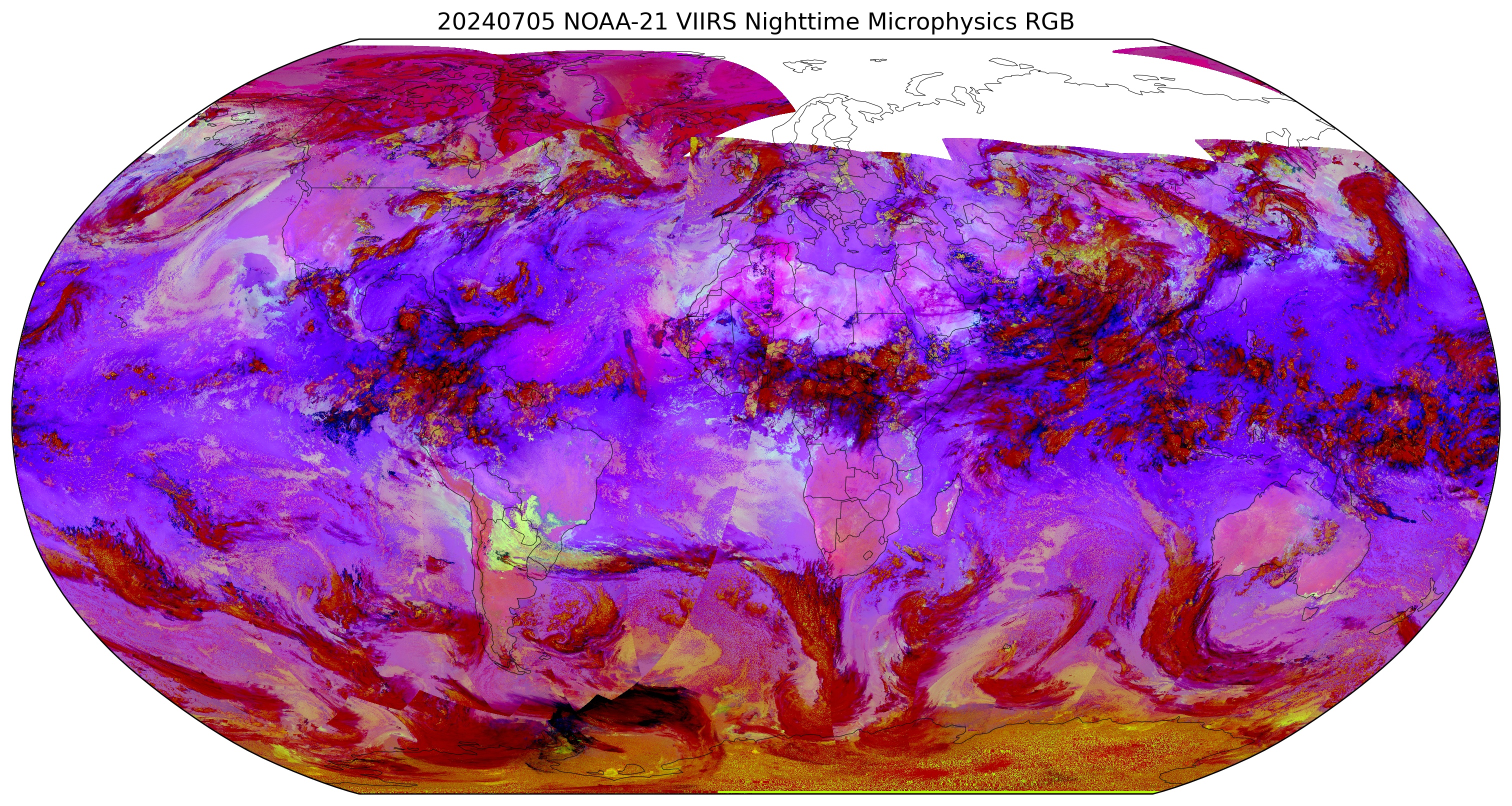
Daily VIIRS Imagery Global and Regional Composites (Click to Enlarge)

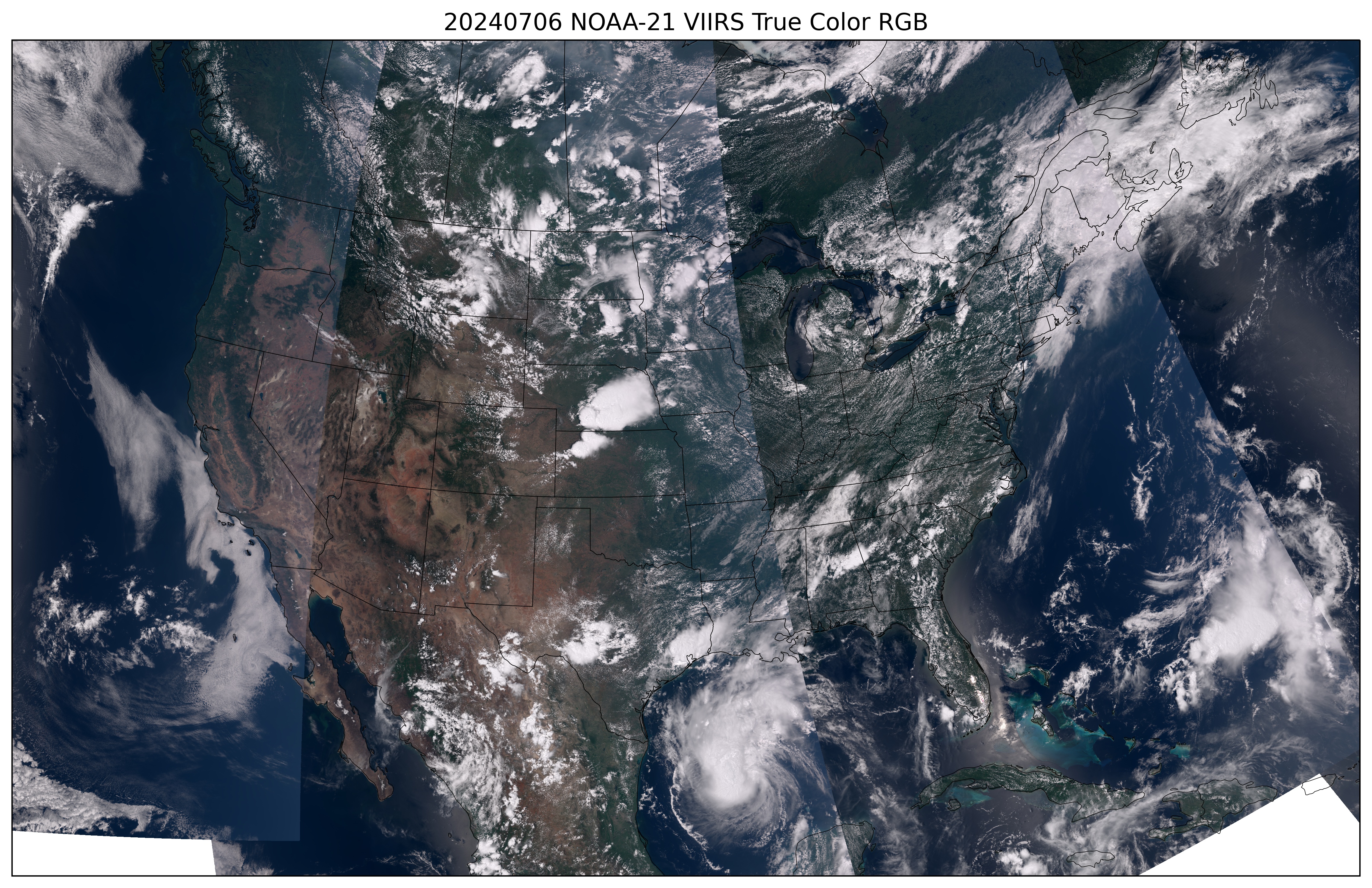


CONUS-Sector VIIRS True Color Imagery Daily Composite
CONUS-Sector VIIRS Day Night Band NCC Imagery Nightly Composite
Europe-Sector VIIRS Day Night Band NCC Imagery Nightly Composite
Bill Line
Lead, STAR Imagery Science Team
NOAA/NESDIS/StAR/RAMMB @ CIRA
[email protected]
Below is a listing of VIIRS imagery products developed at and/or generated and distributed by CIRA/RAMMB, including information about the product and data access

First-Light Imagery From Suomi-NPP VIIRS (Jul 2013)
Suomi NPP VIIRS Imagery Evaluation (May 2015)
Ten Years of VIIRS EDR Imagery Validation and User Interactions (Aug 2022)
VIIRS after 10 Years—A Perspective on Benefits to Forecasters and End-Users (Feb 2023)
Bill Line
Lead, STAR Imagery Science Team
NOAA/NESDIS/StAR/RAMMB @ CIRA
[email protected]